WW1 Trench Photograph to 3D: Proof of Concept
Important!
- This is a proof of concept - Not a game.
- Do not leave the edges of the map as you will end up in an infinite fall.
- There is an area of the map which is just ridges - this is not part of the map.
- No optimisation has been carried out.
Controls
WASD / Cursor
Mouse
Space to Jump(you will need this)
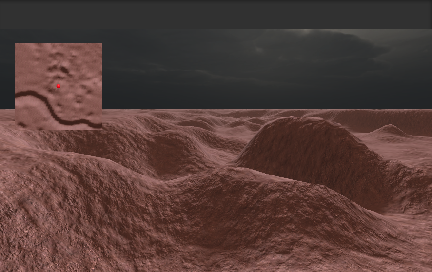
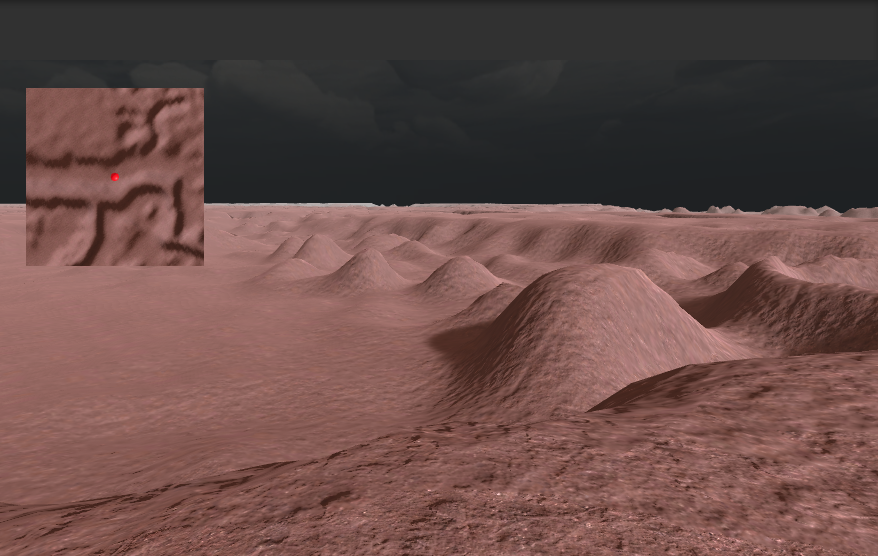
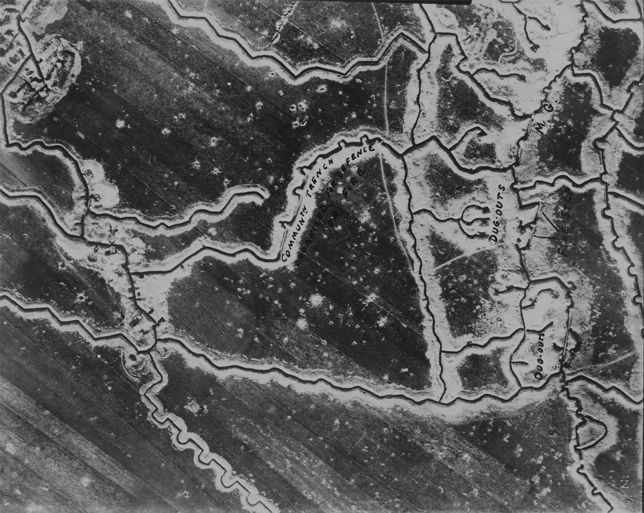
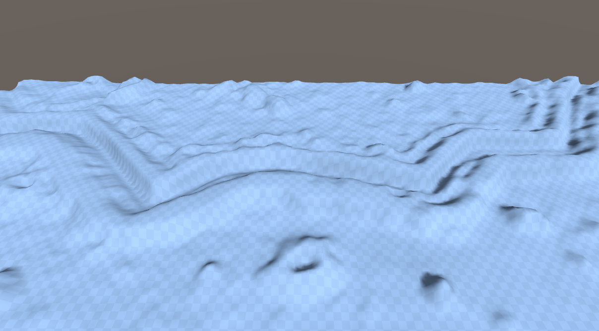
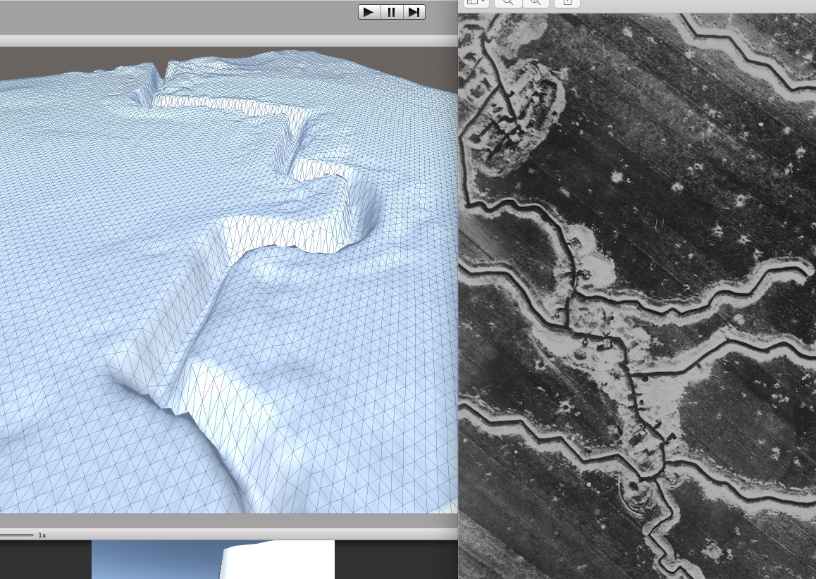
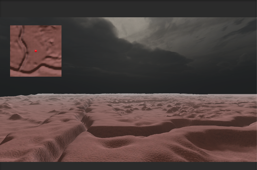
This was done to see if it was possible to take an old aerial photograph of a ww1 trench system and convert it into a 3D model. The answer as you can see is yes, yes you can.
To achieve this, I used https://imagej.net/ to process the image into a workable file to create a heightmap. As this was a proof of concept, I only fiddled with settings but the results are promising. I am surprised by the level of detail in some areas which suggest it would be possible to create something a lot more accurate. To do this, would need a higher and cleaner image. A scale would help as this would ensure the depth was right. I also believe you would need some way of separating trenches from land to ensure that land features are not over-exaggerated and that trenches are not smoothed in the process. All achievable, but I envisage a fair amount of work to achieve.
Leave a comment
Log in with itch.io to leave a comment.